Interactive storm mapping
Map tornado tracks and DAT survey lines together to understand where storms traveled and how documented damage aligns with official records.
Primary sources
- NOAA Storm Events Database: Official tornado record baseline used throughout Tornadic.
- NWS Damage Assessment Toolkit: Surveyed damage paths, points, polygons, and attachment metadata.
- NWS text damage surveys: Published NWS survey findings and revisions from Public Information Statements.
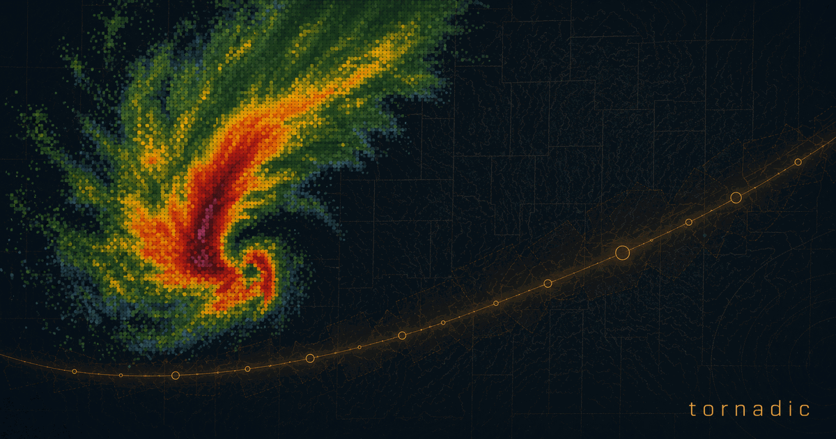
- Radar processing notes: Radar overlays are derived from NEXRAD data and rendered by Tornadic.
- Data rights and reuse: Upstream source terms and contributor permissions still apply.